Jal Shakti Ministry highlights nationwide water management initiatives, including in 8,203 water-stressed gram panchayats.
Water management and conservation refers to the strategic planning, development, distribution, and protection of surface and groundwater resources. Although water is constitutionally a state subject in India, the central government provides financial, technical, and digital public infrastructure support to implement demand-based management, scientific aquifer mapping, and community-driven rainwater harvesting.
Data/Statistics related to Water Conservation
- Nationwide Water Body Census: Over 24.2 lakh water bodies across India were identified, counted and geotagged to create a scientific baseline for their restoration.
- Jal Sanchay Jan Bhagidari (JSJB): More than 1.55 crore artificial recharge and storage structures constructed and geo-tagged across the country by May 2026.
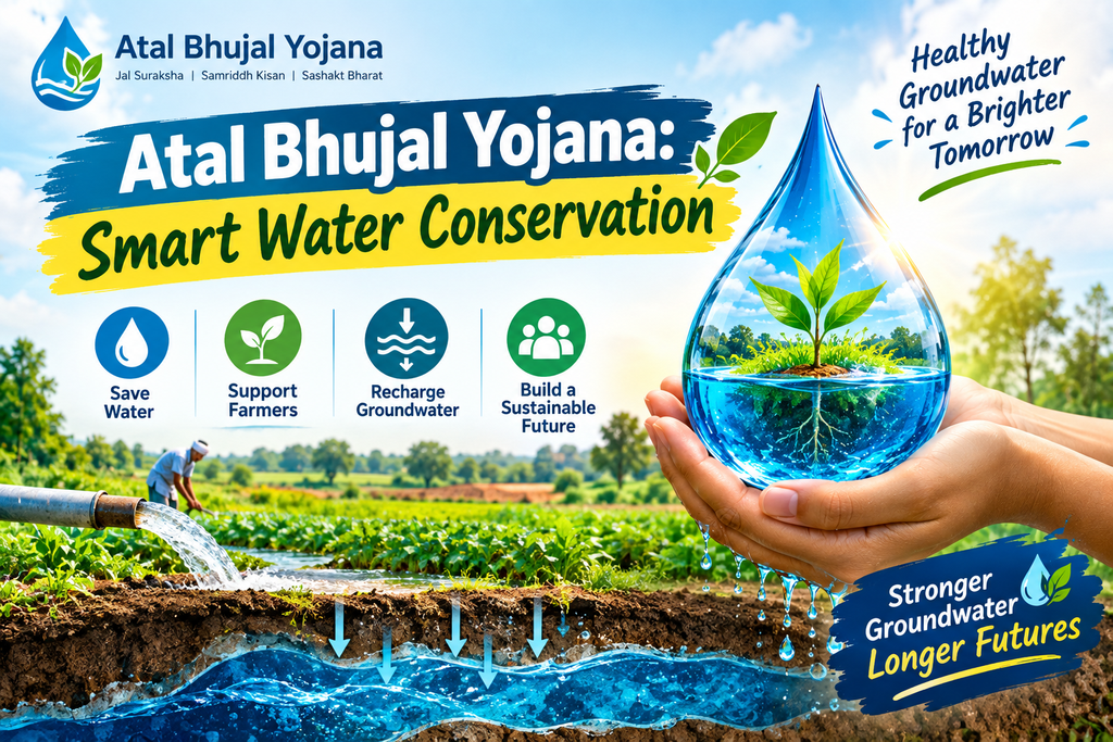
- Impact area of Atal Bhujal Yojana: The study covered 8,203 prioritized water-stressed Gram Panchayats spread across 229 blocks in 80 districts of 7 states (Gujarat, Haryana, Karnataka, Madhya Pradesh, Maharashtra, Rajasthan and Uttar Pradesh).
- Catch the Rain Progress: More than 20 lakh water conservation and artificial recharge works have been initiated through scheme convergence till July 28, 2026.
Methods of Water Conservation and Management:
- Participatory demand-side management: Involving local gram panchayats in water budgeting will allow the focus to be on crop diversification and efficient water use rather than unlimited supply expansion.
- 3D GIS Aquifer Mapping and Modeling: Using remote sensing (RS) and geographic information systems (GIS) to map underground water-bearing rock layers.
- Digital Telemetry Monitoring: Installing Digital Water Level Recorders (DWLRs) in piezometer wells to continuously monitor fluctuations in groundwater levels.
- Hydrological forecasting and satellite mapping: Using mathematical modelling and satellite data to monitor surface flow velocity, reservoir storage and flood levels.
Steps taken so far:
- National Aquifer Mapping Programme (NAQUIM 1.0 and 2.0): 25 lakh square kilometres of mappable area was mapped and district level aquifer management plans were distributed to local administrations.
- India-Groundwater Resources Estimation System (IN-GRES): Standardized, web-based platform providing scientific data for groundwater planning under MGNREGA and Jal Shakti Abhiyan.
- Water Information Management System (WIMS): An integrated centralized platform for hydrological data collection, storage and canal/reservoir management has been established under the National Hydrology Project.
- PMKSY Digital Asset Mapping: Mandatory geo-tagging and allotment of unique identification code for surface minor irrigation assets under Har Khet Ko Pani (HKKP) and RRR of water bodies.
Challenges associated with water management:
- Constitutional and jurisdictional disputes: Water being a state subject, this leads to differences in enforcement capabilities and inter-state river water disputes.
- Over-exploitation in agricultural sectors: Electricity subsidies in the agricultural sector encourage excessive water extraction from deep aquifers for water-intensive crops.
- Maintenance and siltation of artificial recharge structures: Rainwater harvesting structures built due to lack of community maintenance often become silted up or become inactive.
- Data imbalance at the grassroots level: Advanced digital mapping data often remains at the central/state administrative levels and cannot be translated into village-level water budgets.